Home > Activities > Places to Visit Near Paliesius Manor

Places to Visit Near Paliesius Manor

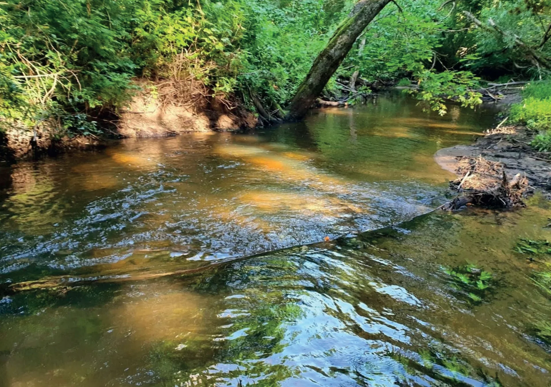
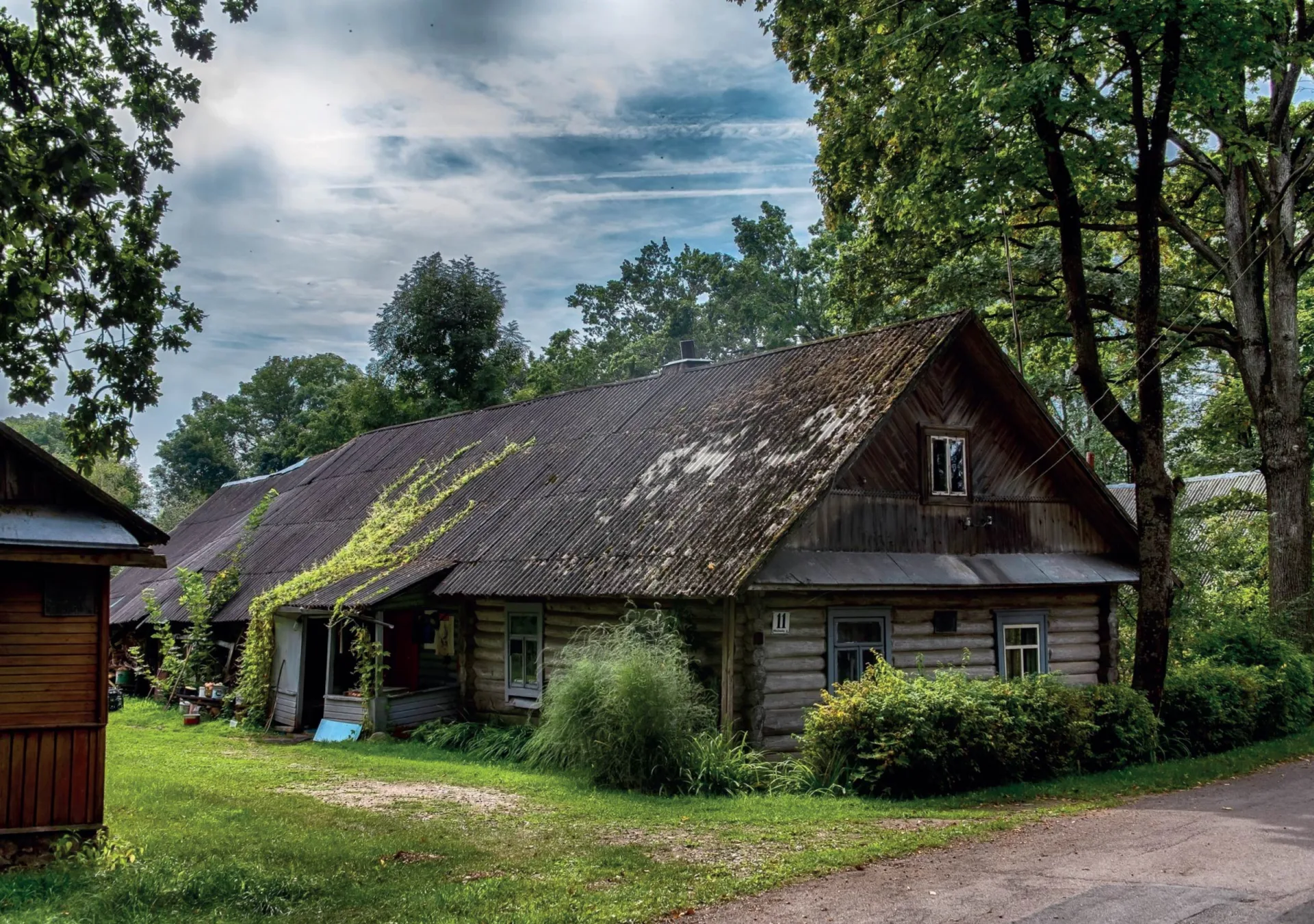
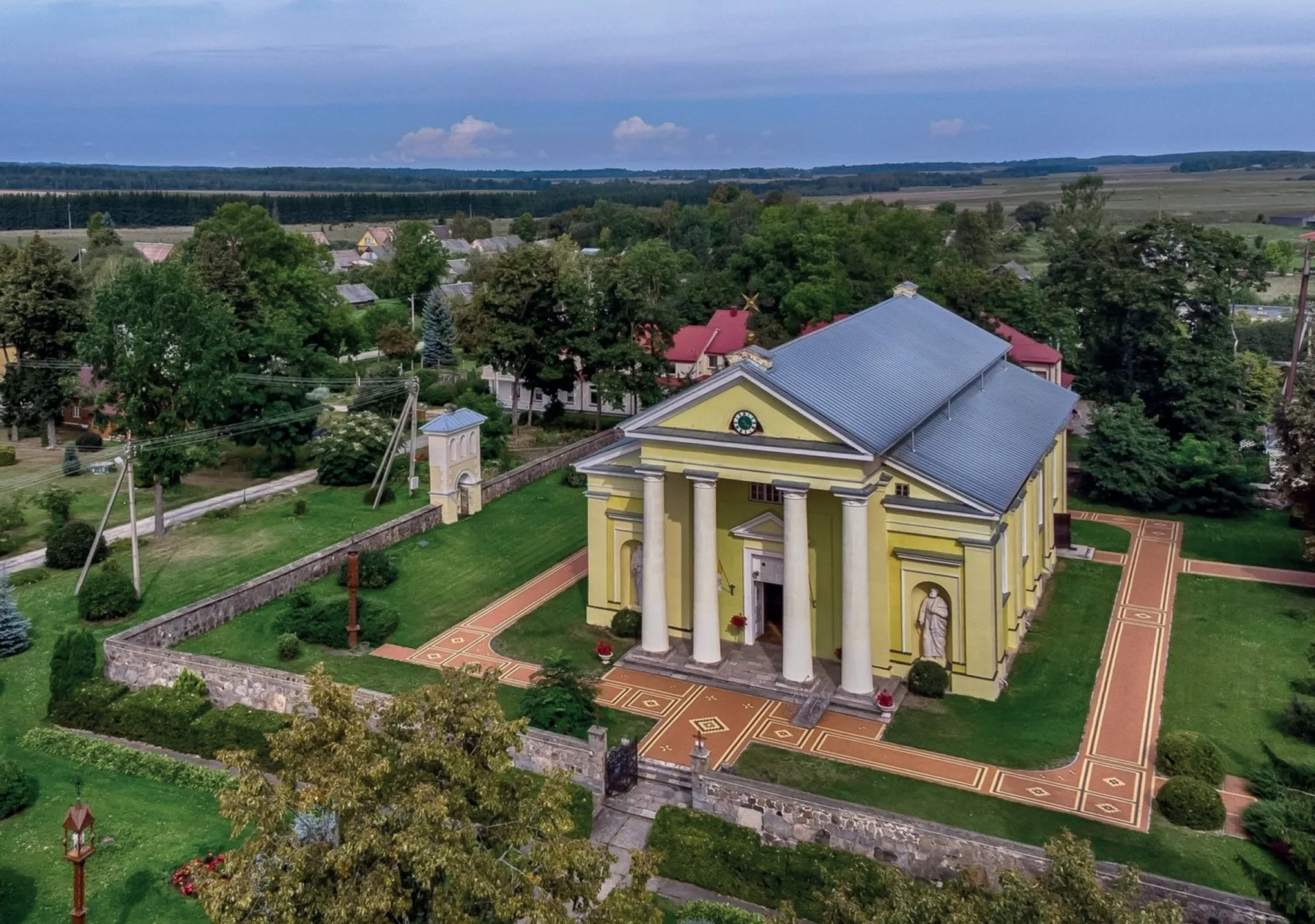
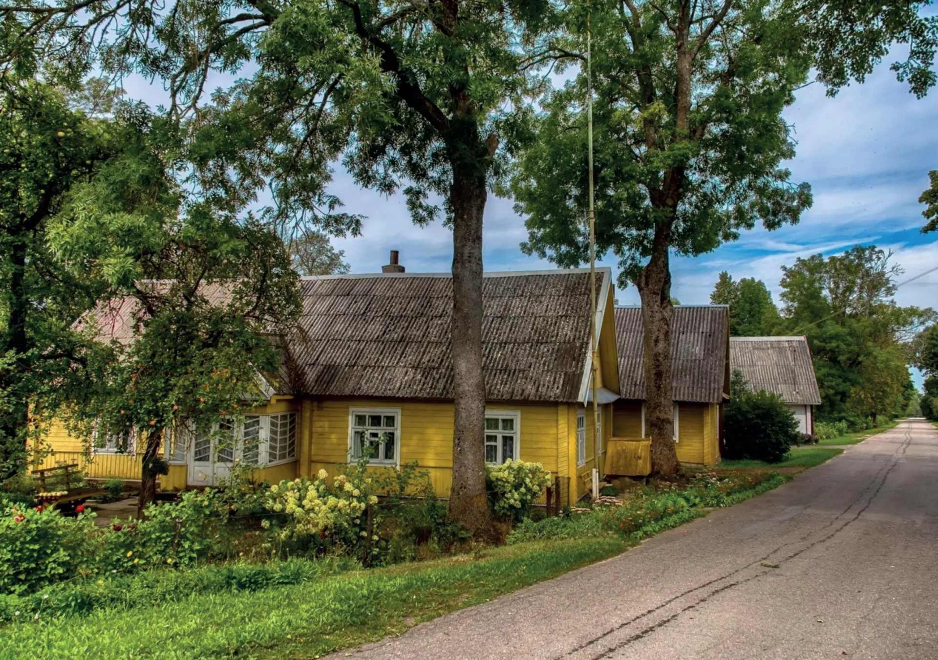
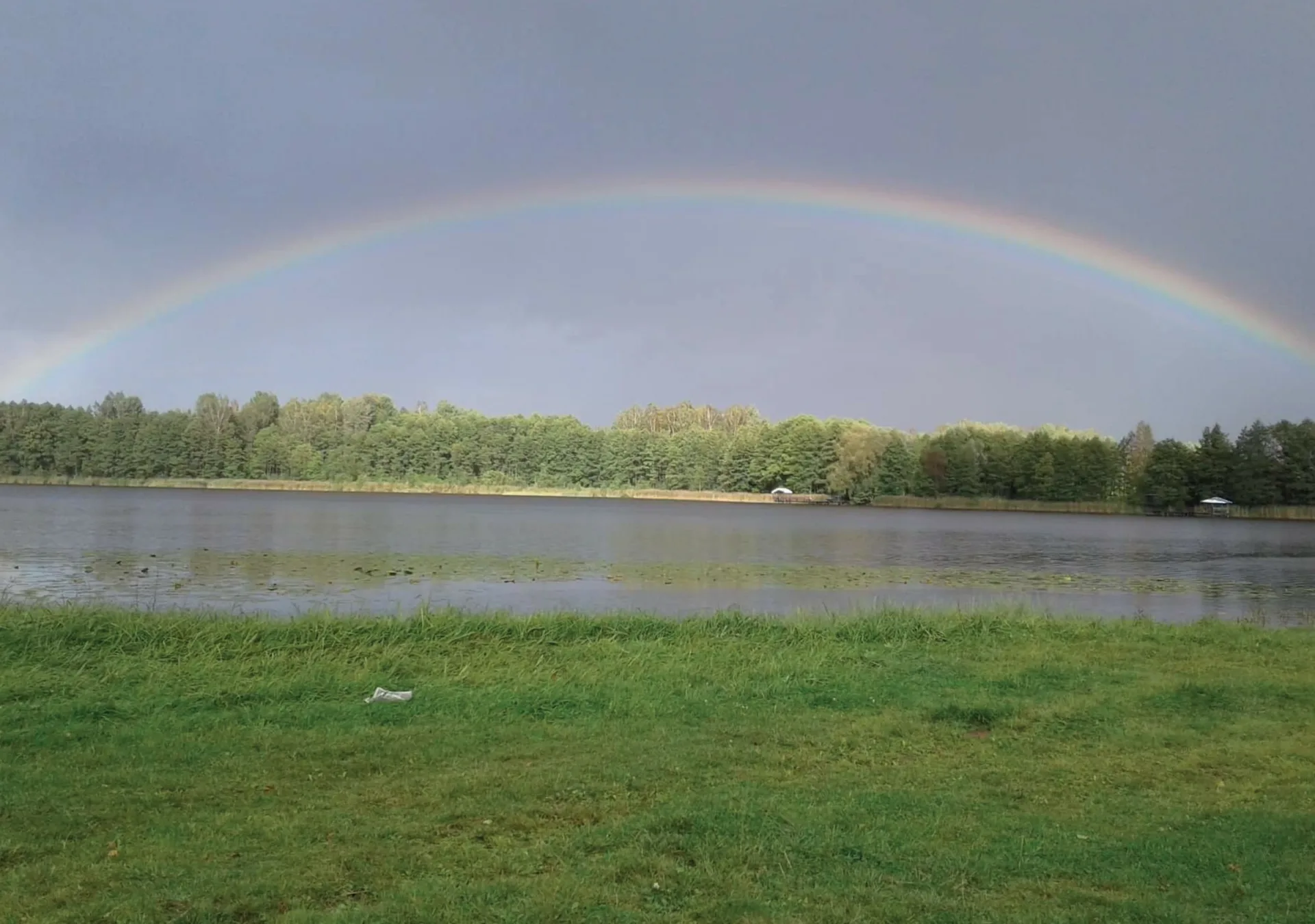
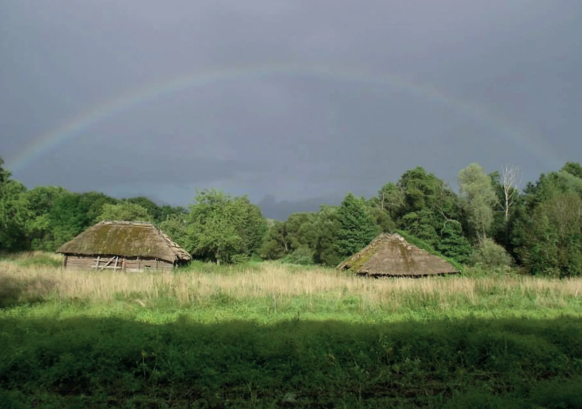
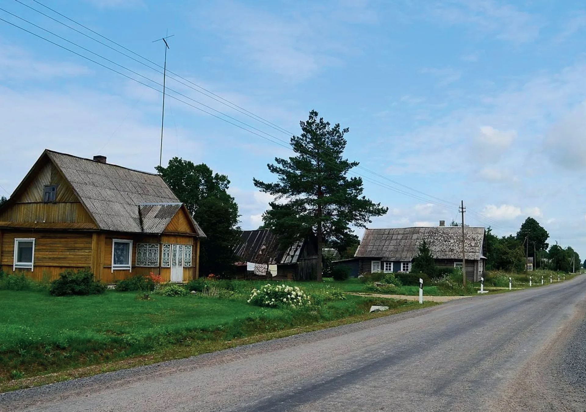
The land of Nalšia. Have you heard the name? These are the historic lands of the Aukštaitian tribes, a region of lakes and forests. We invite you to discover these still-unexplored, little-known places in Eastern Lithuania, just a short distance from Paliesius Manor.

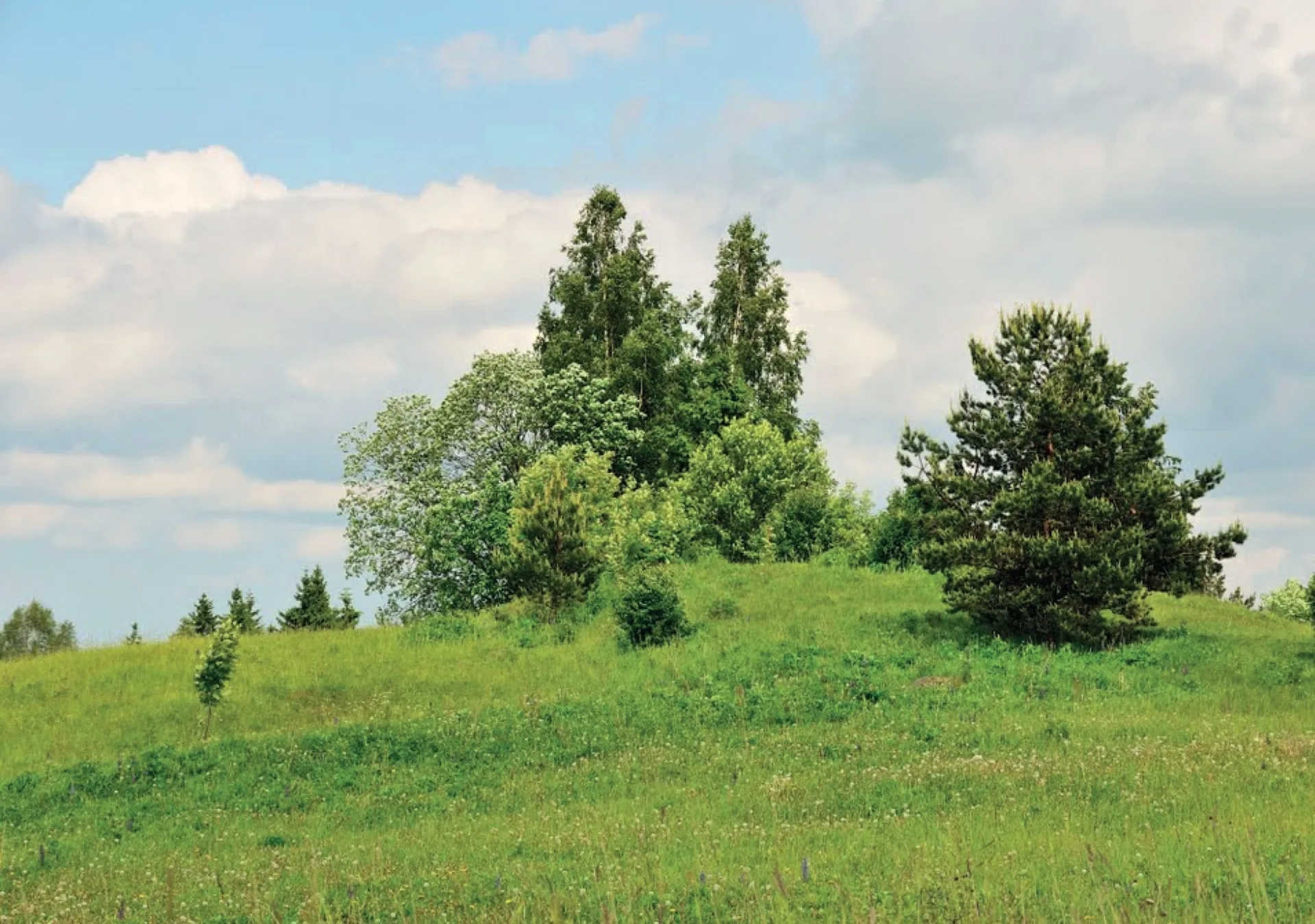
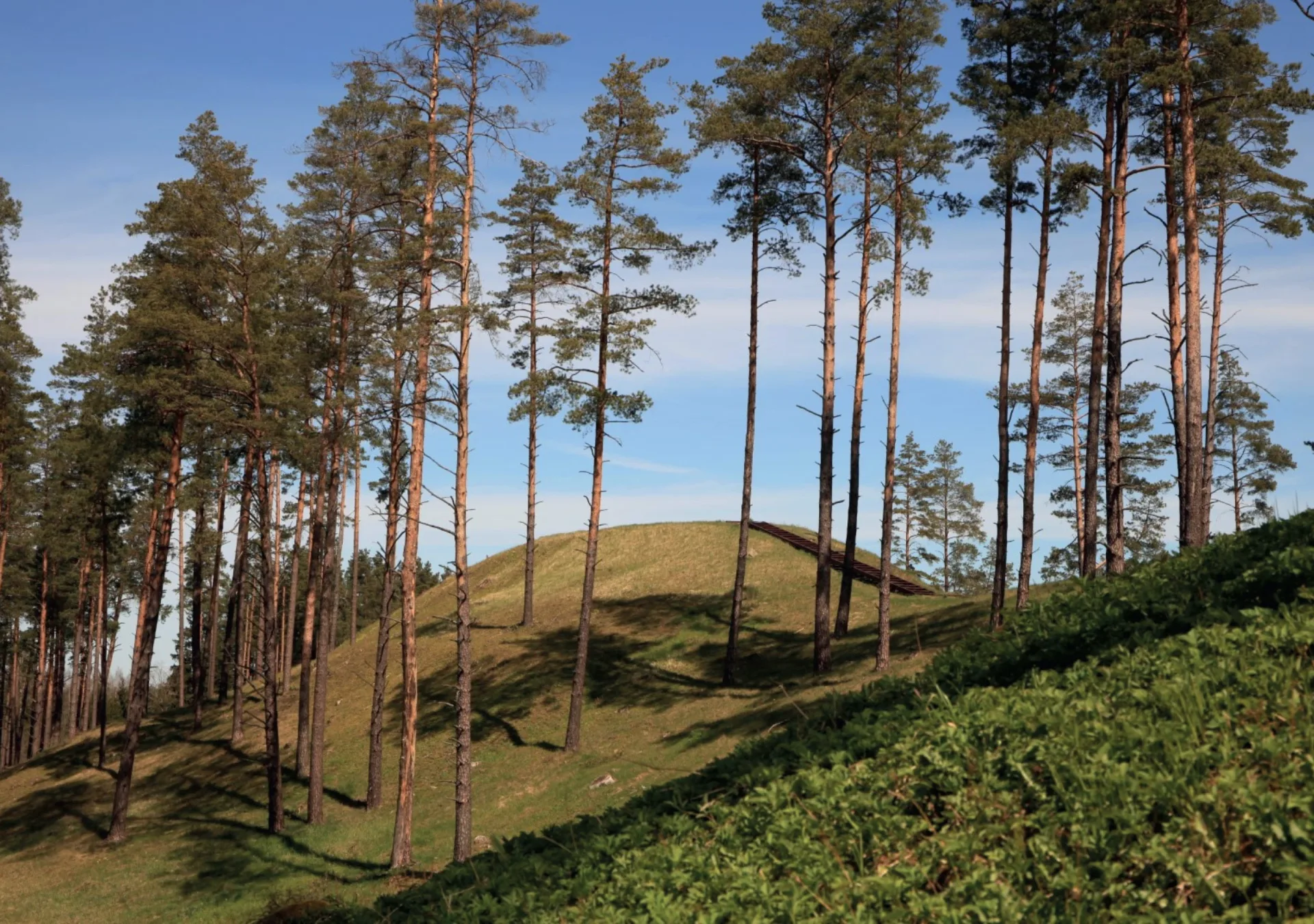
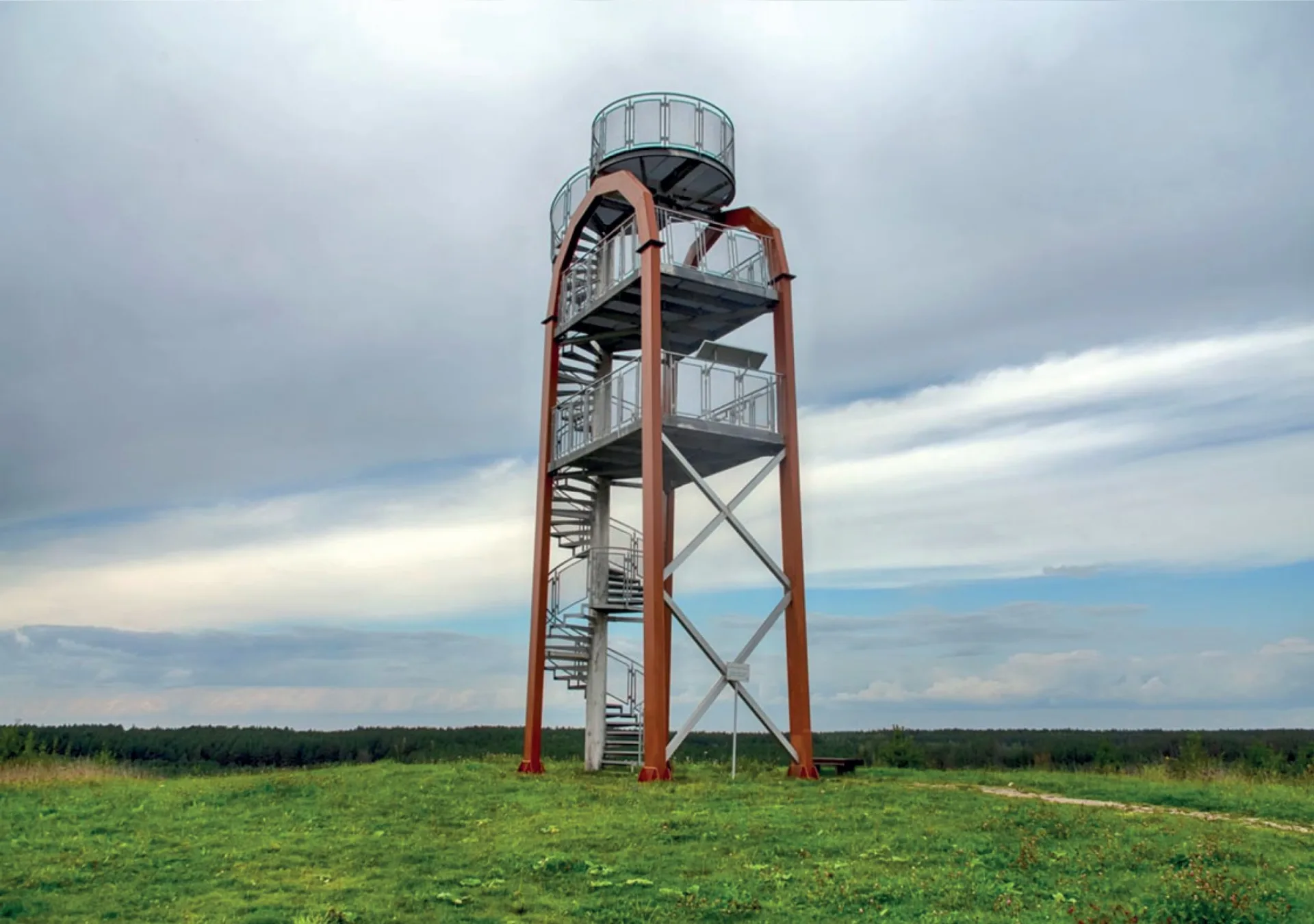
In the park beside the manor, you will find exceptionally comfortable nature trails, laid with a specialized surface and offering plenty of places to pause and rest. For walkers seeking a greater challenge, we invite you to explore three nature trails in the expansive neighboring forest of the Milašius Telmological Reserve: here, you will find fully marked trails of 2.3 km, 5 km, and 8 km.

We also offer cycling routes so you can explore even more of the surrounding area. Bicycles are available to rent directly at Paliesius Manor!

Swimming in Kančiogina River | 300 m

The closest waters, offering a refreshing escape on a hot summer day. You can stroll there in just a couple of minutes.

https://goo.gl/maps/rbyHAXH69upKibyK7

Mėčionys village | 3.1 km

The village is well known to specialists, though tourists rarely wander this way. Yet there is every reason to visit: this ethnographic two-sided street village features no fewer than 8 heritage homesteads, 7 individual historic buildings, and a former Lithuanian primary school. The cottages, granaries, barns, and threshing barns remember the village’s history, which began around the mid-16th century when Mėčionys was founded during the Volok Reform.

https://goo.gl/maps/QnskPHPZKQUx28G46

Mielagėnai town | 3.5 km

The Church of St. John the Baptist in Mielagėnai safeguards immense treasures—its interiors are graced with paintings and sculptures by the artist Vincentas Smakauskas, while beautifully preserved gates and a belfry, built around 1830, display the expressive forms and striking proportions of late Classicism and Romanticism. Connoisseurs often compare the architecture of the Mielagėnai church to that of the Vilnius Cathedral Basilica. The town of Mielagėnai itself was once a highly important center, granted the privilege in 1768 to host weekly markets and three annual trade fairs.

https://goo.gl/maps/pHenaPvTCeXG6wAF7

Kukutėliai | 6.6 km

Kukutėliai, also known as Kukučiai and Mažieji Kukučiai, emerged in the mid-16th century during the Volok Reform. It belonged to the Pacas family, and from the 17th century onward, to the Erzvėtas folwark of the Dysna estate. It is mentioned in a 1622 “inventory” compiled by Petras Pacas, the Grand Standard-Bearer of the Grand Duchy of Lithuania, in which he gifted the Erzvėtas estate and Kukutėliai to the Tverečius Monastery. At that time, the village encompassed six voloks of land and was home to six families. Until the second half of the 19th century, the village was called Kukučiai, and later Mažieji Kukučiai. During the years of Polish occupation, a secret two-class Lithuanian school operated here (from 1921), preparing children for the Švenčionys Lithuanian Gymnasium. The prominent botanist and doctor of biomedical sciences Angelė Meilutė Baliūnienė was born in this village. Today, the village retains valuable buildings from the late 19th and early 20th centuries (traditional double-ended cabins with barns, and a granary), alongside other structures of small-scale architecture.

https://goo.gl/maps/krJaUNJVzLavje4X7

Milašaitis Lake campsite | 6.8 km

A perfect spot to refresh yourself in the cool lake on a hot summer day. The campsite features gazebos, benches, fire pits, and changing cabins.

https://goo.gl/maps/ejRyUR7vXSDiFtf36

Kančioginas. Rakščia Hill | 11 km

Also known as Varčiakalnis. Legends tell that the once-flourishing city of Kančiogina sank, fell to ruin, and vanished deep beneath the earth, while benevolent goddesses gathered soil in their *kvartukai* (aprons) and poured it to raise the hill.

https://goo.gl/maps/b3ErqDHd2ZxU6QmJ7

Senoji Katinautiškė | 13 km

An architectural monument and a traditional clustered village. Senoji Katinautiškė was burned down during the First World War, but was rebuilt by 1940. Nine heritage homesteads survive today, preserving 26 buildings constructed in the early 20th century. At the heart of the village lies a quadrangular square, quietly bordered by a small cemetery. Traditional double-ended cabins, richly adorned with intricate fretwork, stand with their ends or sides facing the square.

https://goo.gl/maps/jCTBqYcCzfTjXThUA

Tverečius | 15 km

Nestled by the Dysna River and Lake Tverečius, the town was first mentioned in historical records on July 21, 1501, when the noble Viešgaila family signed the founding charter for the White Canons of Tverečius. Three days later, the Augustinian monks were settled here (Tverečius Monastery). The jewel of the town is the Holy Trinity Church, built in 1906. Near the town cemetery, you can see a surviving German fortification from the First World War.

https://goo.gl/maps/A5Mf46Xn6hXtNjMeA

Raščiūnai | 15 km

The wartime bunkers situated in the village are part of countless World War I defensive fortifications that stretch all the way into the territory of Belarus. The German army was entrenched here for three full years. Military structures built for various purposes are scattered across an approximately 50 km stretch on both sides of the Adutiškis–Vidžiai road. There are 2 in the marshy forest near the village of Raščiūnai; 6 in the villages of Raščiūnai and Guntauninkai (both in the Mielagėnai area); 7 in the villages of Svirkai, Bonėnai, Kėkštai, and Didžiasalis (all in the Dysna area); and 8 in the villages of Cepeliškė, Kliukai, Tverečius, and Popovka (all in the Tverečius area)—though according to local residents, there are more.

https://goo.gl/maps/E1grvjm5xZQipsdEA

Kačėniškė Mound | 20 km

Here, a stroll along the park’s Mythological Trail is a wonderful way to acquaint yourself with ancient Baltic deities and mythical beings.

https://goo.gl/maps/Y4WSpwCgzsojnbtq5

Sirvėta Regional Park | 23 km

It is distinguished by its rolling highland terrain, scattered with villages, solitary homesteads, ancient hillforts, burial mounds, sacred hills, majestic old-growth trees, and ceaseless springs. Nearly every corner of this landscape is woven with legends and folklore. The park’s natural wonders include the uniquely shaped, centuries-old Adamavo and Stanislavavo oaks, the Linden Arbor, and the bubbling Lino Verdenė spring.

This is a haven for hermit beetles, narrow-mouthed whorl snails, fire-bellied toads, gray cranes, and great bitterns. In the young woodlands encircling the lake, you may glimpse hoopoes—the proud symbol of Sirvėta Regional Park.

https://goo.gl/maps/x2M6VevUUG9u34Xw7

Dysna | 27 km

The birthplace of Augustinas Voldemaras (1883–1942), Prime Minister of interwar Lithuania. In 1996, through the initiative of the Švenčionija Compatriots’ Club, a memorial stone was unveiled beside his childhood homestead in the village of Dysna to honor this prominent politician and head of the first government of the Republic of Lithuania. Dysna is first mentioned in historical sources in 1579. The village takes its name from the Dysna River.

https://goo.gl/maps/ahDDJd8gj9ryBXvn6

Sirvėta (Didžiasalis) Observation Tower | 30 km

This tower takes a highly unusual form, reminiscent of an arch. From its 14-meter height unfolds a breathtaking panorama of the ethnocultural village of Didžiasalis and Sirvėta Regional Park.

https://goo.gl/maps/u7pZY8DW5YLaKRoo8